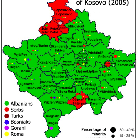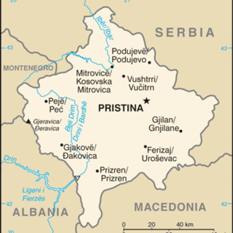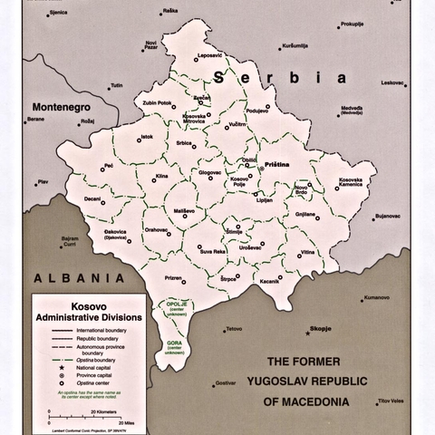
1998 Map of Kosovo's Administrative Partitions
Source: Perry Castenada Map Library at the University of Texas
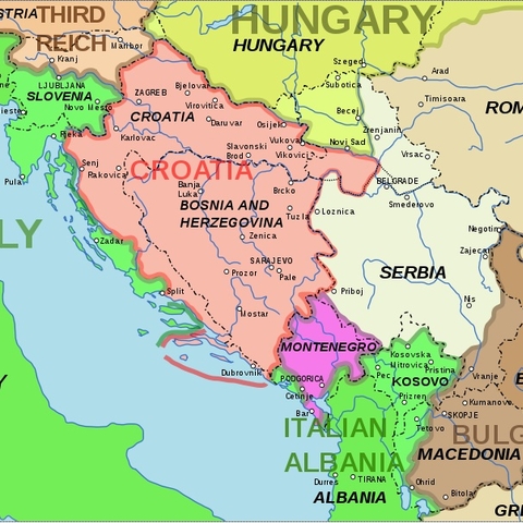
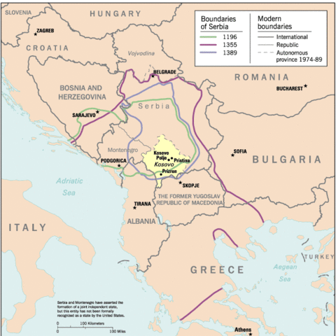
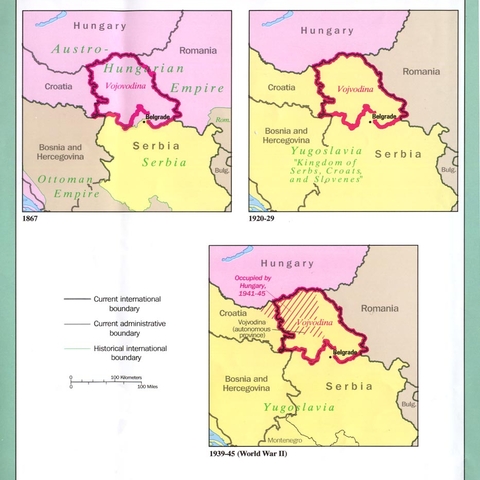
A Map showing the different political boundaries--the broad outlines of Yugoslavia and the other Balkan countries--in the post World War II era and 2008
Source: wikipedia.org-created by Andrei Nacu

Map showing the percentages of ethnic majorities in former Yugoslavia, 1992.
Source: Perry Castenada Map Library at the University of Texas

