Source: Perry Castenada Map Library at the University of Texas
Article Maps & Charts
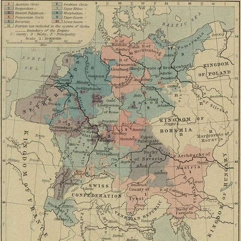
Central Europe, 1512. Note the historic "Kingdom of Bohemia" and "Margravate of Moravia" on the right side of the map
|
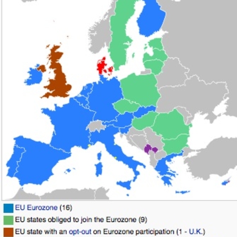
European Map showing the countries who have adopted the Euro
Source: wikipedia.org |
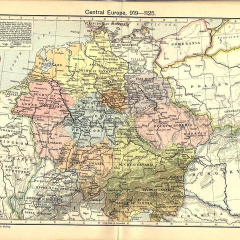
Map of Central Europe circa 1000
Source: Perry Castenada Map Library at the University of Texas |
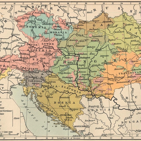
Nationalities in the Austro-Hungarian Empire in 1911
Source: Perry Castenada Map Library at the University of Texas |
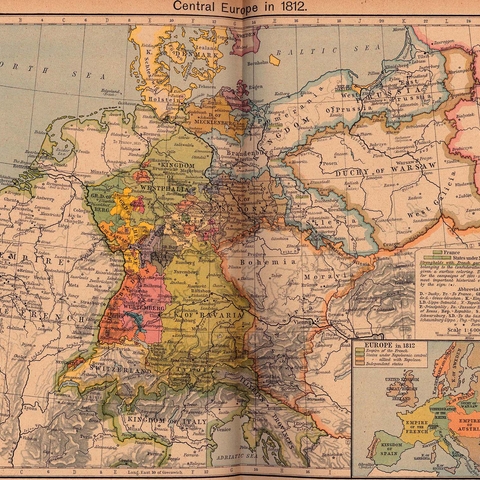
Political Map of Central Europe in 1812
Source: Perry Castenada Map Library at the University of Texas |
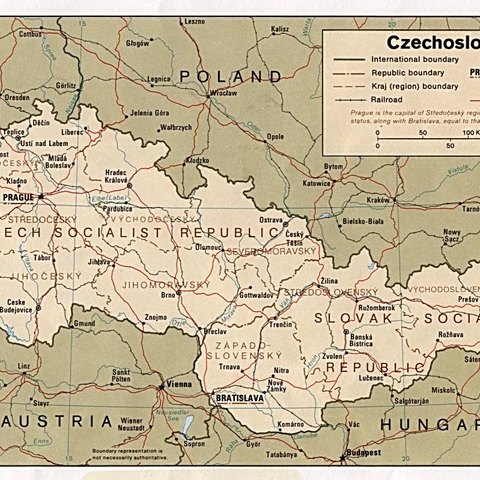
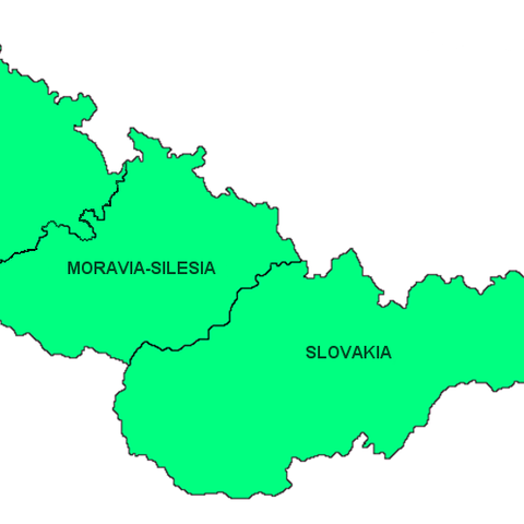
Political Map of Czechoslavkia, 1985
Source: Perry Castenada Map Library at the University of Texas |
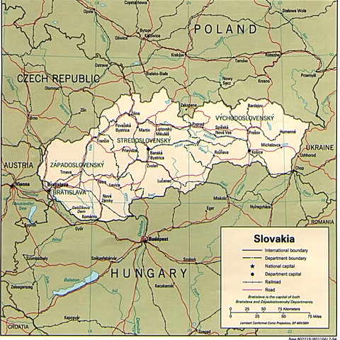
Political Map of Slovakia, 1994
Source: Perry Castenada Map Library at the University of Texas |
Political Map of the Czech Republic, 1994
Source: Perry Castenada Map Library at the University of Texas |
Political/Regional map of Czechoslovakia, 1928-1938
Source: Perry Castenada Map Library at the University of Texas |
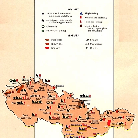
The economic resources of the former Czechoslavkia, 1990
Source: Perry Castenada Map Library at the University of Texas, CIA |
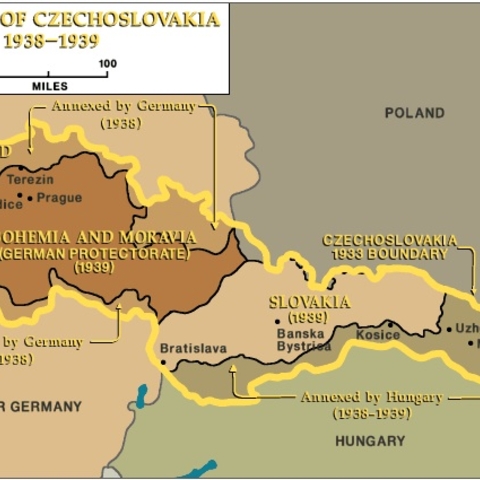
The Partition of Czechoslovakia 1938-1939
|