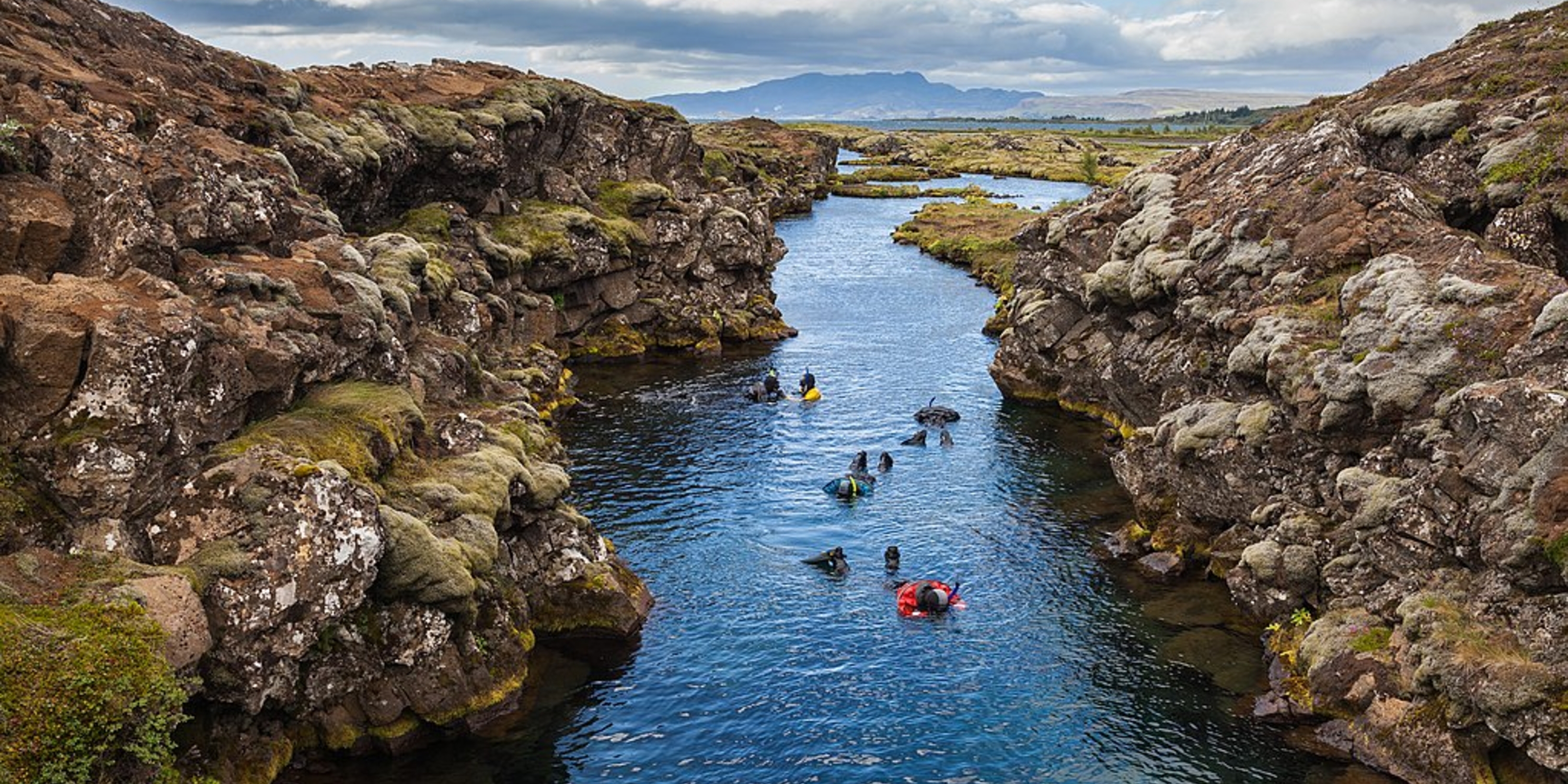
This lesson plan involves exploring divergent boundaries, their features, and their locations around the world. The lesson begins with a quick review using whiteboards to activate prior knowledge of convergent boundaries, subduction zones, the process of slab-pull, and the use of convection in the Earth for plate movement. This allows students to move into a collaborative learning activity as they work together to observe a model of a divergent plate boundary using poster board and paper. This hands-on activity allows students to explore a divergent boundary and possible features or consequences of said boundary. Once ample time is spent on exploring the divergent boundary model, students will observe a short lecture detailing the model, divergent boundary features, and the relationship divergent boundaries have with convergent boundaries with the creation and destruction of plates. After a quick check for understanding (Thumbs-Up/Thumbs-Down), students will move into station work as they explore different divergent plate boundaries around the world. These different locations (Iceland, East Pacific Rise, and the Red Sea) allow students to explore divergent boundaries, their features, and how the Earth is constantly moving with Plate Tectonics. To finish out the lesson, students complete a quick exit ticket while a recap of the day is completed with explanation leading to a future lesson about magnetism of the ocean floor and how Earth’s poles have moved over the years.
Instructional Strategies:
- Making and Exploring Models
- Collaborative Learning
- Mini-Lecture
- Stations
Lesson Materials: