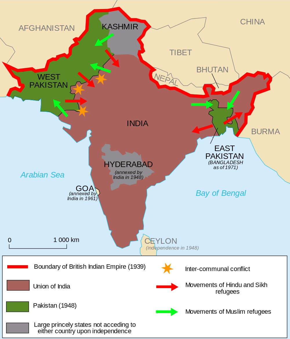
This map shows the partition of India, West Pakistan, East Pakistan, and Kashmir, including the directions of movements of Hindus, Sikhs, and Muslims.


This map highlights the location of the conflict in Kashmir among Pakistan, India, and China.

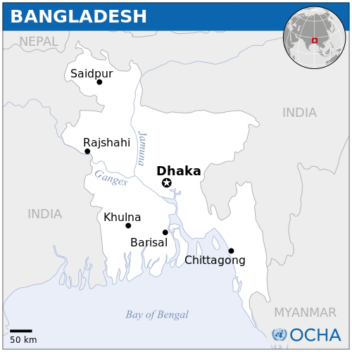
This map shows the location of East Pakistan (today Bangladesh).
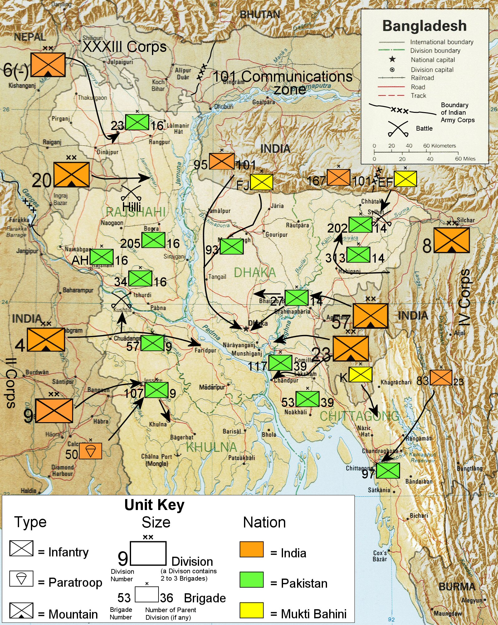
Part of what it also called the India-Pakistan War of 1971, the Bangladesh Liberation War saw battles between India and Pakistan. This map shows approximate movements of military units.

Map showing the Durand Line (1893), in red, between Afghanistan and Pakistan

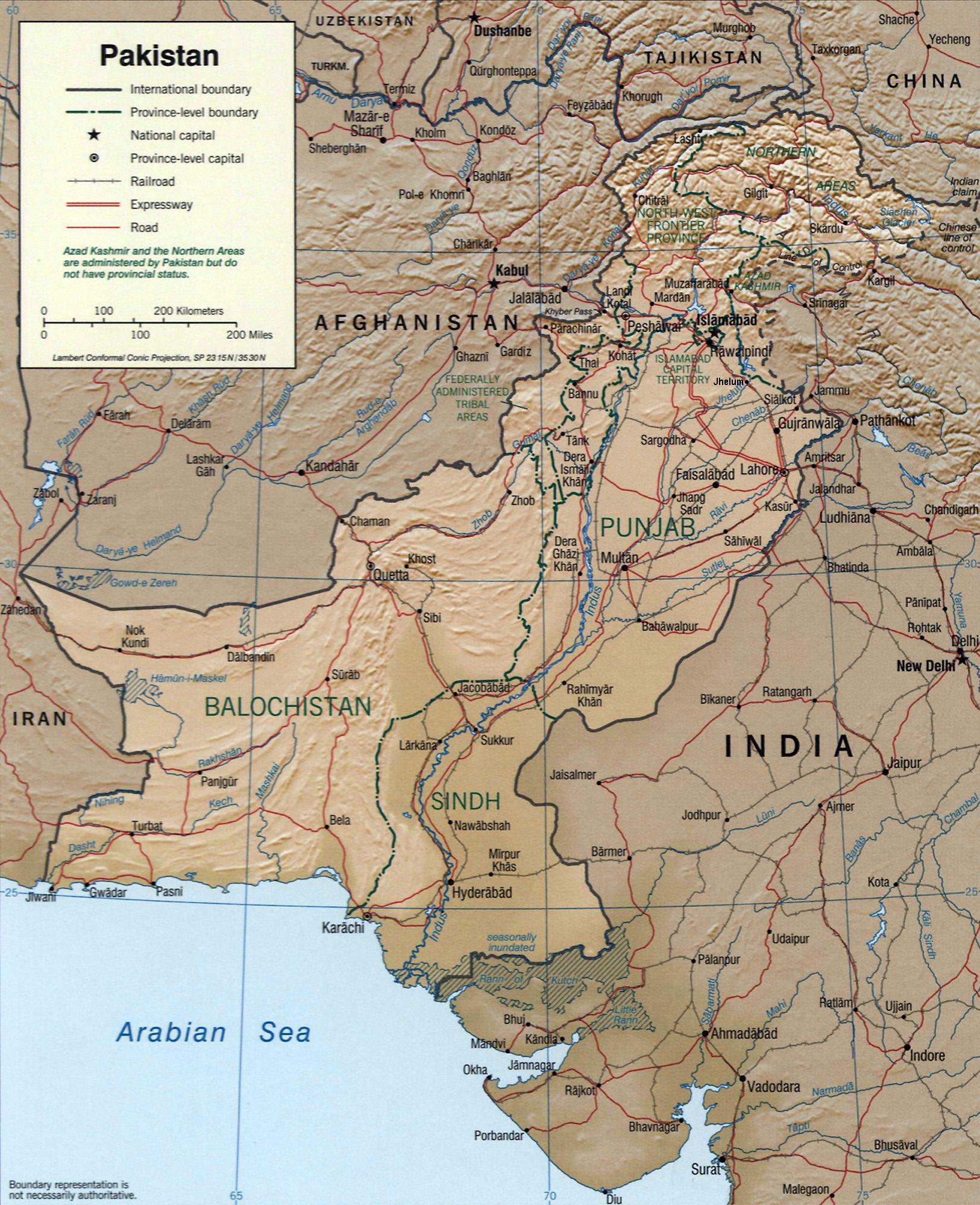
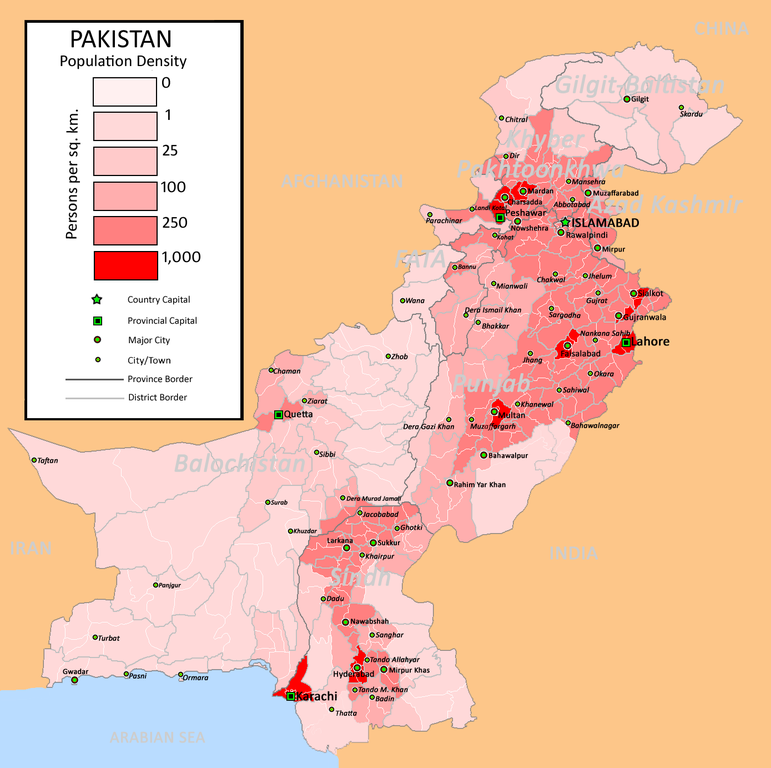
Today, Pakistan has four provinces and four federal territories.

In 1970, four new provinces, highlighted in this map, were organized for Pakistan after the two-province system (of East and West Pakistan) was disbanded.

This map highlights the location of Balochistan in Pakistan.


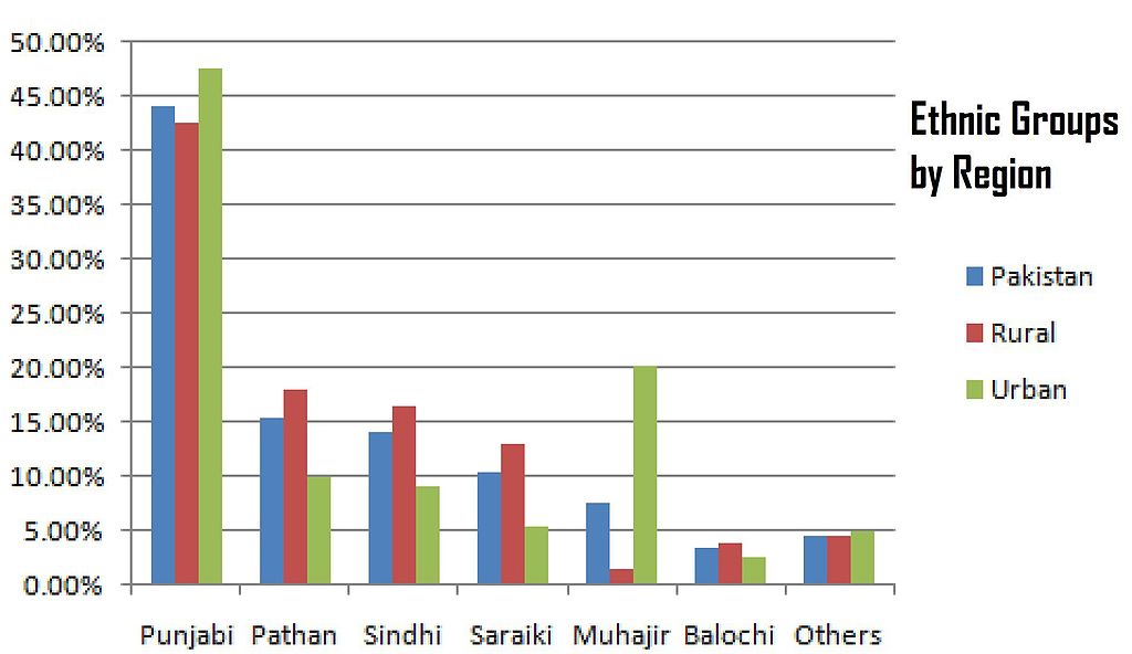
Graph showing the current breakdown of ethnic groups by region in Pakistan
