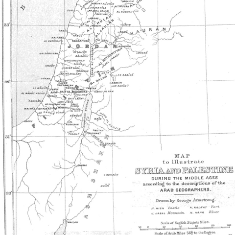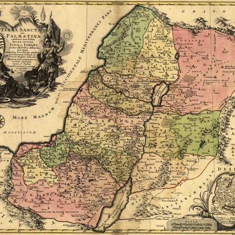
Map showing Ancient Palestine and the location of the 12 Tribes of Israel, 1759
Source: Public Domain
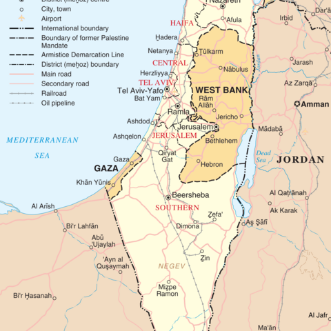
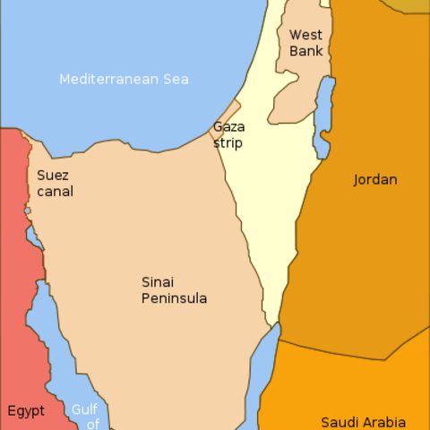
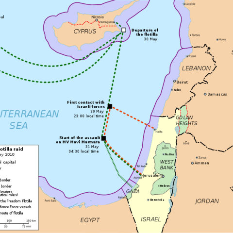
Map of Israel, the Palestinian territories (West Bank and Gaza Strip), the Golan Heights, and portions of neighbouring countries, 2004
Source: Public Domain
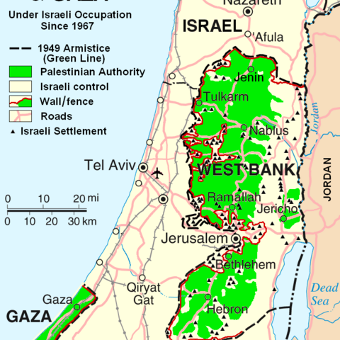
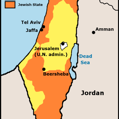
Map showing the territory under Palestinian control and Israeli settlements in the West Bank and Gaza, 2007
Source: Public Domain
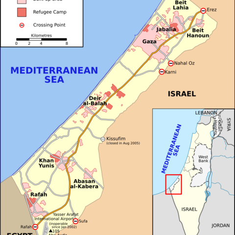
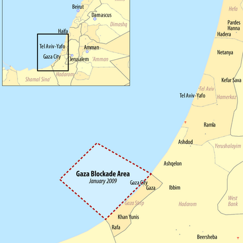
Detailed map of the Gaza Strip and the West Bank, showing the political divisions, and areas of Palestinian [green] and Israeli control, 2006
Source: GNU license

