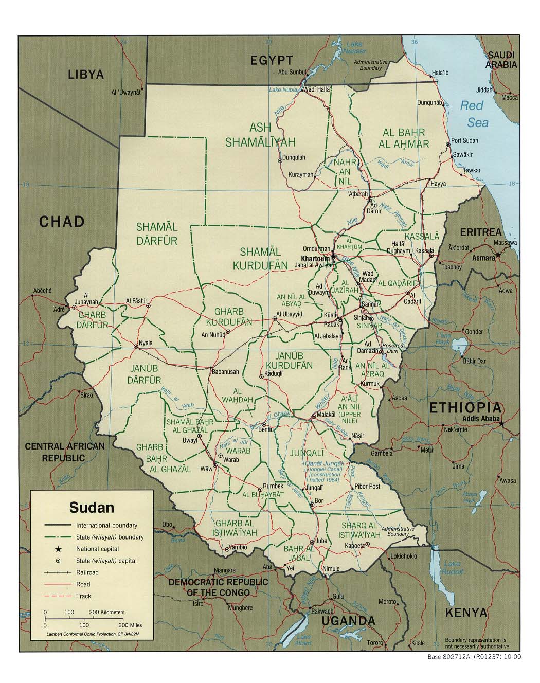
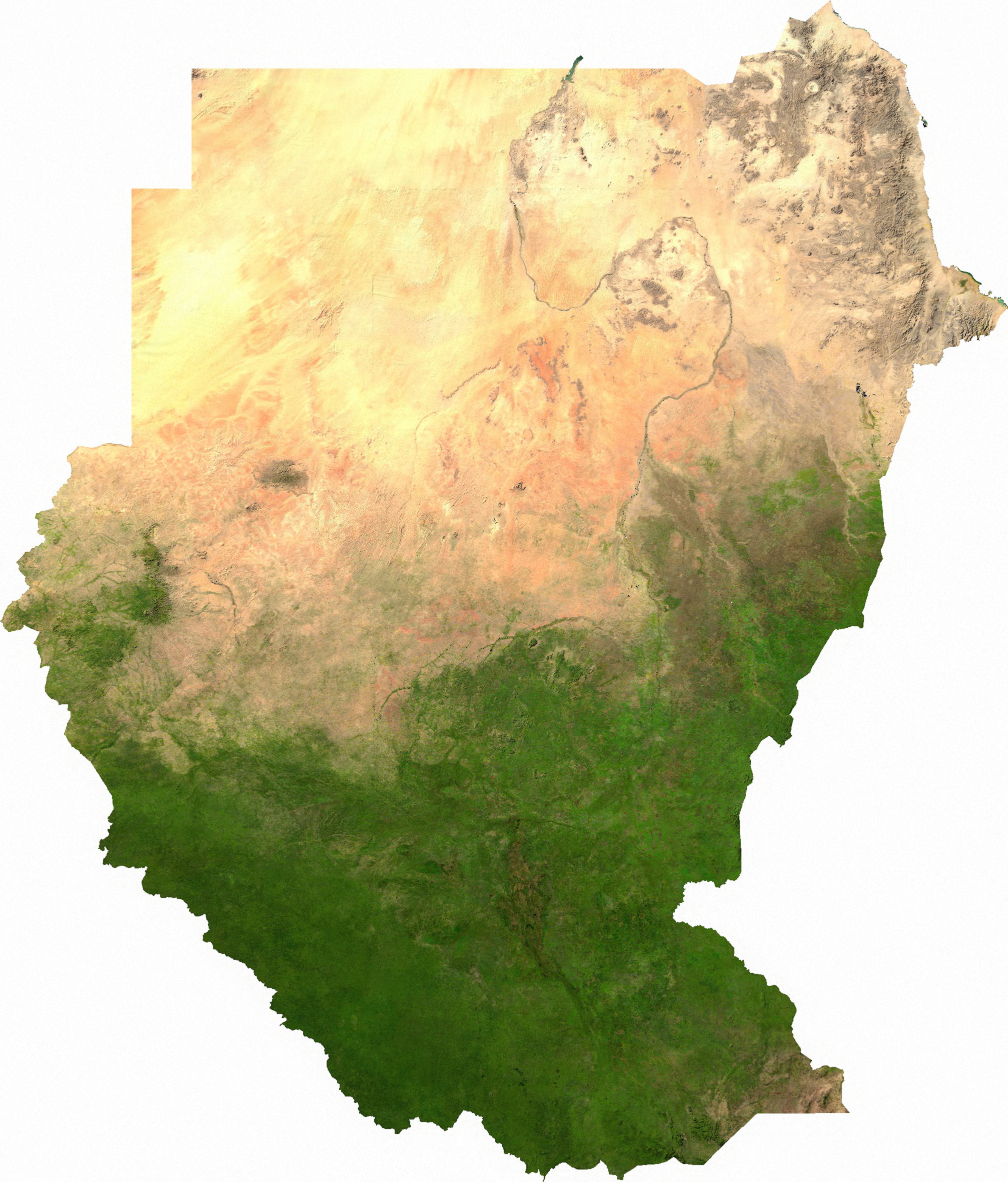
Detailed Political Map of Sudan, 2000
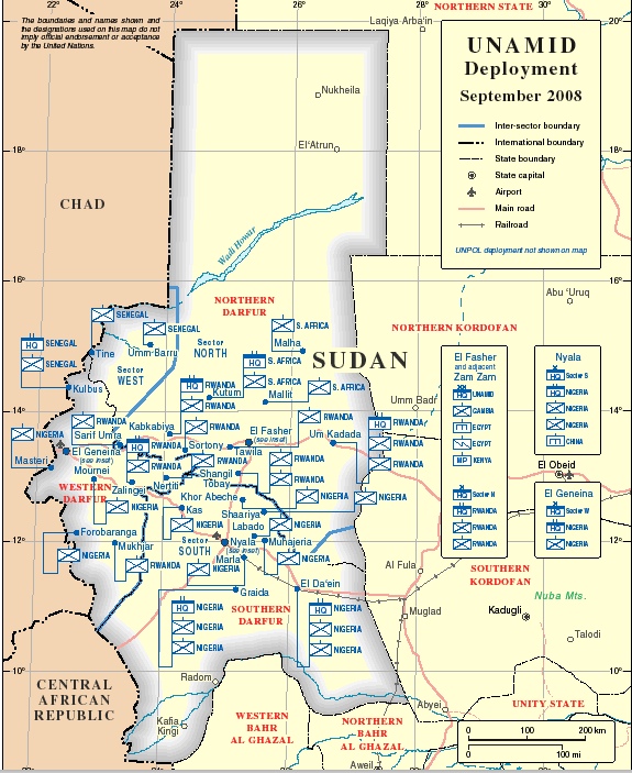
A map showing the strategic and regional reponsibilities of members of the UN/African Union Mission in Darfur (UNAMID)

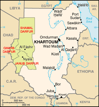
Political Regions of Sudan
Source: wikipedia.org released through creative commons license
Comments: Green-Darfur, Orange-North Sudan, Blue-South Sudan, Pink-Nuba Mountains, Red Line-Boundary of Abyei
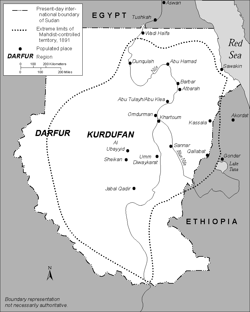
Political map showing the outline of the Mahdist State in Sudan at the end of the 19th century
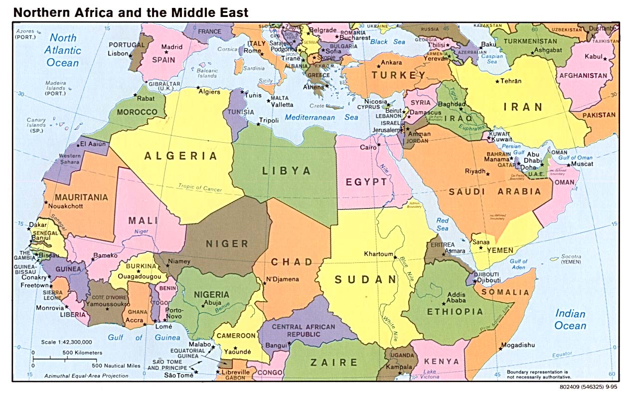
Sudan in its North African and Middle Eastern context