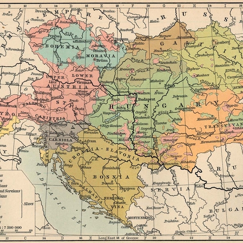
Nationalities in the Austro-Hungarian Empire in 1911
Source: Perry Castenada Map Library at the University of Texas
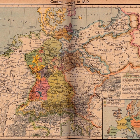
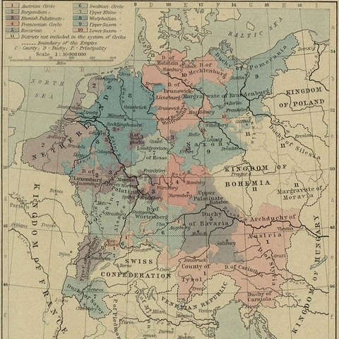
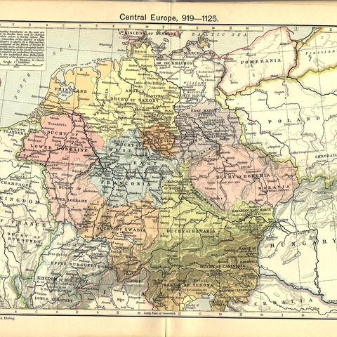
Political Map of Central Europe in 1812
Source: Perry Castenada Map Library at the University of Texas
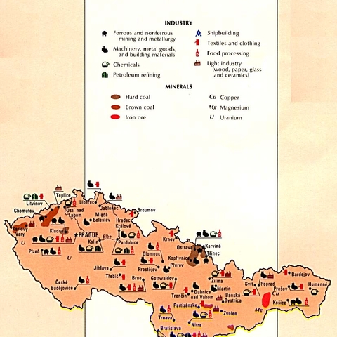
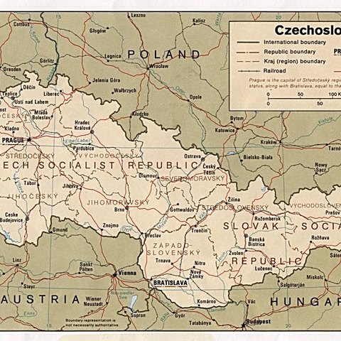
The economic resources of the former Czechoslavkia, 1990
Source: Perry Castenada Map Library at the University of Texas, CIA

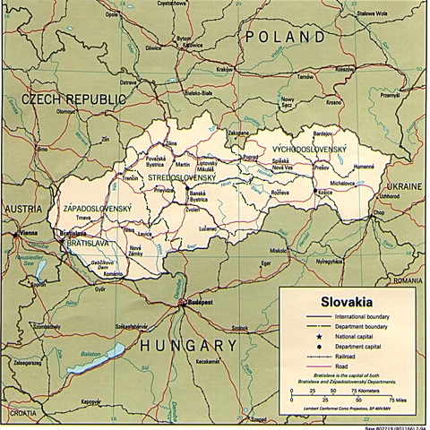
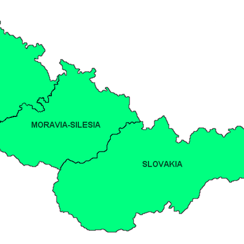
Political Map of the Czech Republic, 1994
Source: Perry Castenada Map Library at the University of Texas

